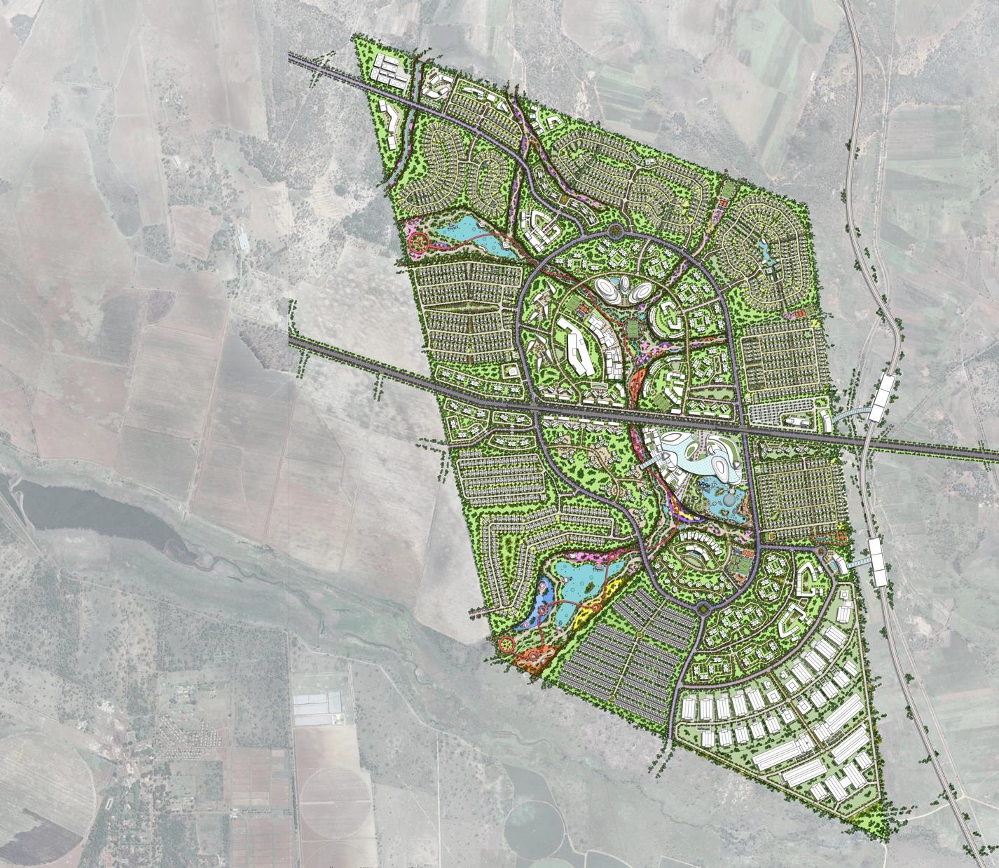
Eight interconnected clusters form the functional structure of Park City's complete urban ecosystem. Each has a distinct role within the planning vision.
Explore the eight clusters
Contemporary, well-connected neighbourhoods designed for different households and changing life needs, bringing homes, everyday services, green space and community life together in a walkable setting.
Selected cluster
01Residential Communities
03 / Planning approach
Nature as the Organising Framework
The People-First Land Use principle coordinates land use, density and movement around the needs of everyday life.
Site Response
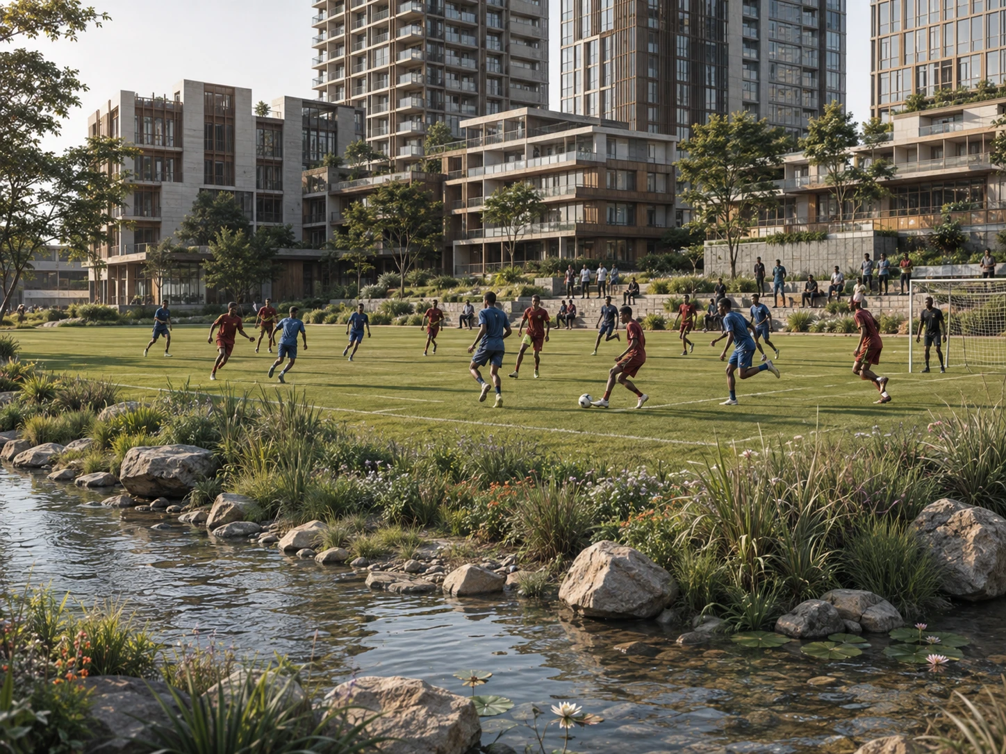
The masterplan begins by responding to the site’s contours and water features. These conditions inform a branching landscape and open-space network that helps organise development across Park City.
Green Spine
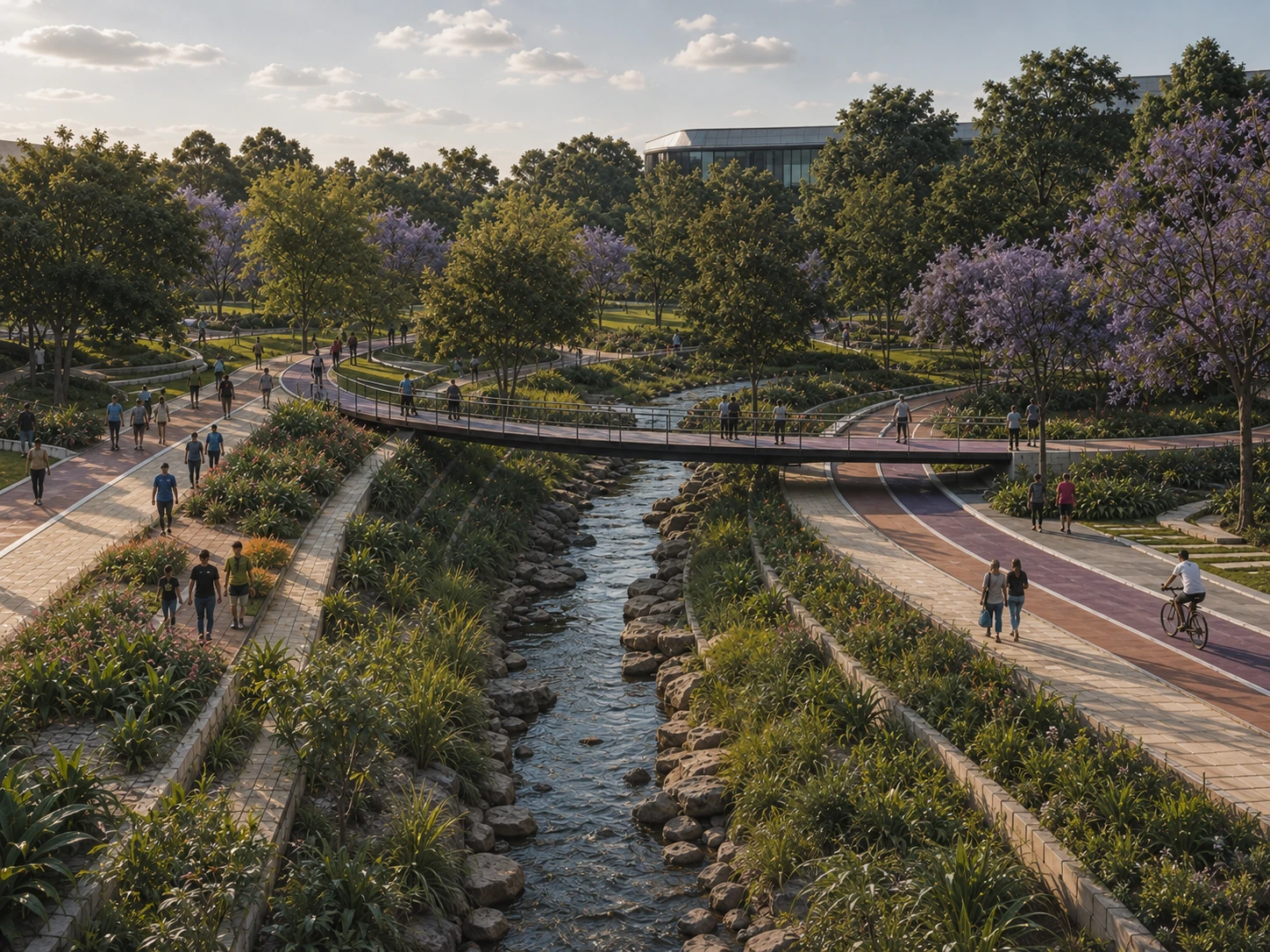
Within this framework, the green spine links parks, trails, water and civic places across the plan. It is intended to bring nature into the structure of the city and its public life.
Landscape Infrastructure
The landscape corridors are also planned to support outdoor activity and gathering, while contributing to stormwater management and irrigation.
Movement Network
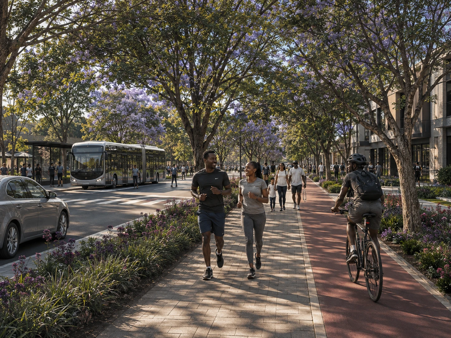
Streets, pedestrian loops, cycle routes and planned public transport form parts of a wider movement network. Walkability is an outcome of how land use, movement and public space are planned together.
Human Scale
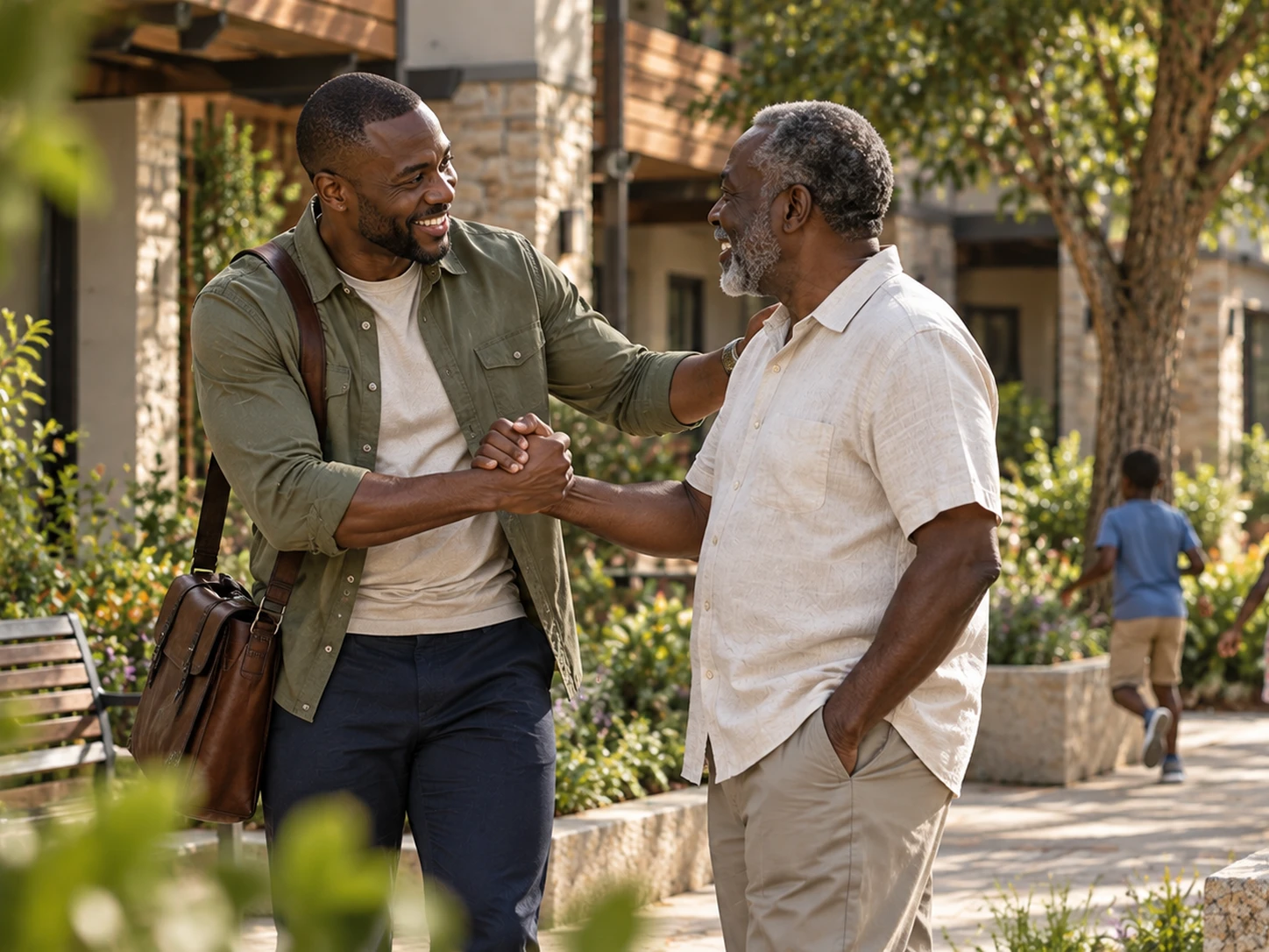
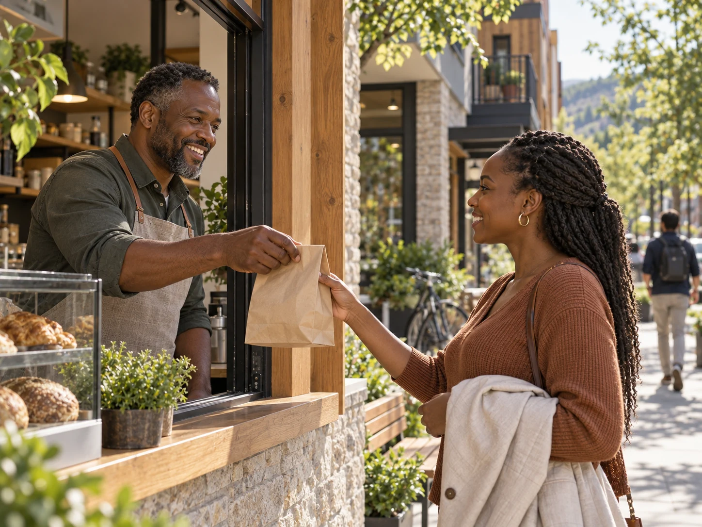
Gentle density and a mix of uses are intended to bring everyday destinations closer together within a human-scale urban environment.
Everyday activity concept.
Civic Heart
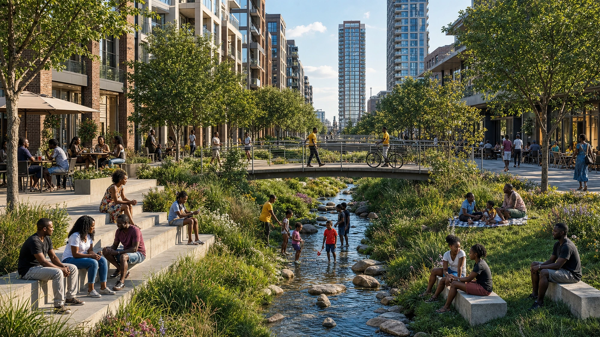
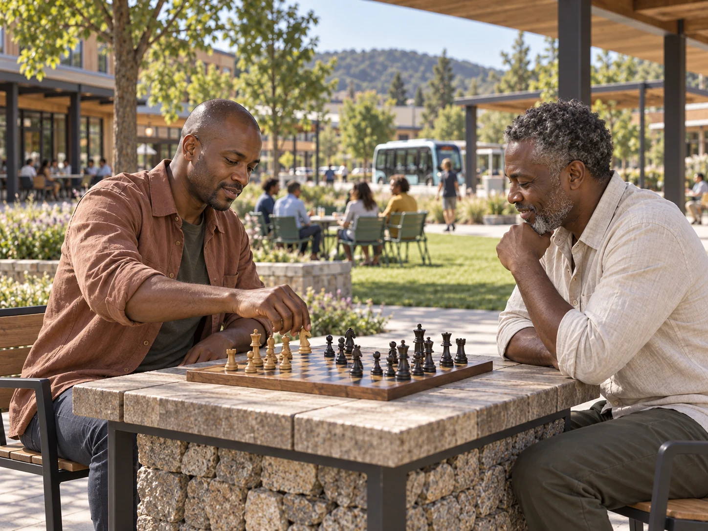
At the planned Civic Heart, a central green space, flexible event space, mixed-use frontages and a mobility hub are conceived as parts of a shared centre for movement, services, commerce and public life.
Public-life concept.
Concept imagery and plans are illustrative, not completed construction or current plot availability. Subject to approvals and final design.